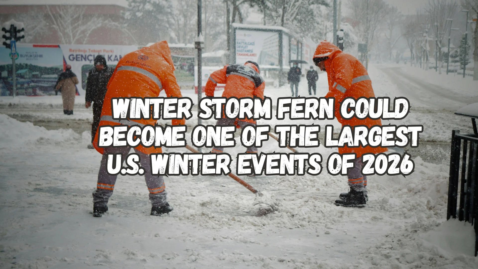
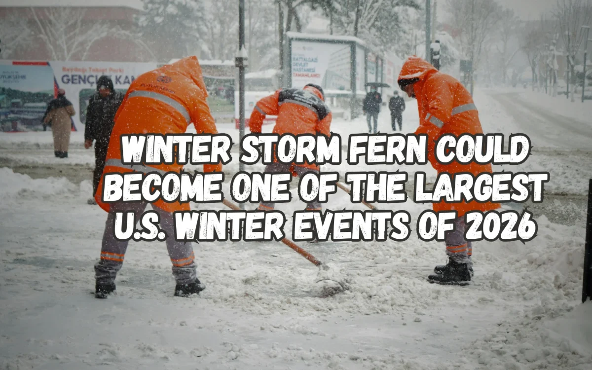
Winter Storm Fern Could Become One of the Largest U.S. Winter Events of 2026
Winter Storm Fern is shaping up to be one of the most widespread and disruptive winter storms of the 2026 season, with impacts expected to stretch across nearly half of the United States. From Friday, January 23 through Monday, January 25, more than 180 million people could feel the effects of heavy snow, sleet, freezing rain, and dangerous ice accumulation.
The storm, named by The Weather Channel, is expected to rapidly develop near Texas before pushing northeast along the East Coast. As warm Gulf moisture collides with an invading surge of Arctic air, conditions become nearly perfect for severe winter weather across a massive region from New Mexico all the way to the Northeast.
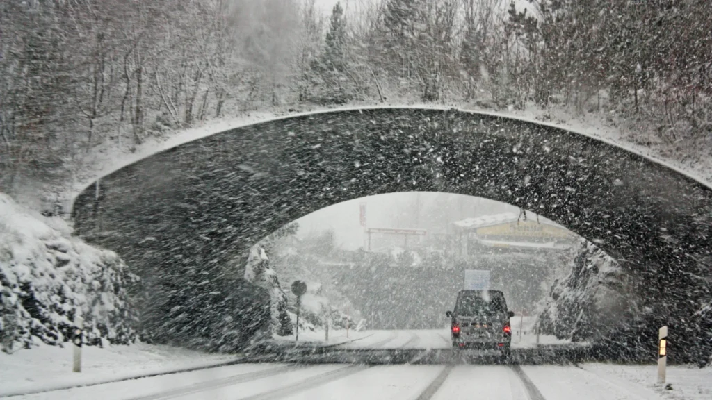
Winter storm watches are already in place across the southern Plains, Southeast, Tennessee Valley, Appalachians, and mid-Atlantic, with many areas likely to see upgrades to warnings and ice storm alerts. While exact snow and ice totals are still being refined, we’re already seeing strong signals pointing to high risks for power outages, fallen trees, and extremely dangerous travel.
Southern cities such as Dallas, Austin, Atlanta, and Birmingham areas not accustomed to major ice storms could see particularly serious disruptions. Meanwhile, northern regions may deal with heavy snow totals exceeding a foot in some locations. With the storm moving quickly, we recommend preparing now, as the window to act is narrowing fast.
How Winter Storm Fern Is Expected to Unfold
The storm’s evolution will happen in stages, but its intensification could be rapid.
Light rain begins across parts of the southern U.S. mid-week, including Louisiana, before colder air transforms precipitation into snow and ice by early Friday. By Friday afternoon, snow is expected to break out across the Texas Panhandle and southern Plains, affecting cities such as Lubbock, Amarillo, Wichita, Tulsa, Oklahoma City, and Dallas. At the same time, sleet and freezing rain may develop across northern Texas, western Oklahoma, southern Kansas, and Arkansas.
Friday night into Saturday morning marks a critical phase as the storm surges eastward into the Tennessee Valley and southern Appalachians. Cities like Memphis, Nashville, Huntsville, Knoxville, Asheville, Chattanooga, Birmingham, and parts of the Carolinas could see prolonged periods of freezing rain, with ice accumulations potentially exceeding a quarter inch enough to snap trees and power lines.
By Saturday afternoon, conditions worsen across Georgia, Alabama, and the Carolinas. Northern Georgia counties are particularly vulnerable, with forecasts showing a dangerous mix of snow, sleet, and ice. Based on current model trends, we’re watching this region closely, as even small shifts could significantly increase ice totals.
Saturday night into Sunday morning is expected to be the storm’s peak, expanding impacts into the mid-Atlantic and Northeast while lingering wintry weather continues across the South. Even after precipitation tapers off, reinforcing Arctic air could lock in sub-zero wind chills and record cold temperatures through early next week, increasing refreeze dangers on untreated roads.
States and Cities Most at Risk
Winter Storm Fern’s reach is unusually broad, impacting dozens of states with very different risks depending on location.
Southern hotspots include:
Texas: Dallas, Austin, San Antonio, Lubbock
Oklahoma: Tulsa, Oklahoma City
Arkansas: Little Rock
Louisiana: Shreveport
Mississippi & Alabama: Central and northern regions, including Birmingham
Tennessee: Memphis, Nashville
Georgia: Atlanta metro and North Georgia
Carolinas: Charlotte, Raleigh, Spartanburg
North Georgia counties under heightened watch include Dade, Walker, Catoosa, Whitfield, Murray, Fannin, Gilmer, Union, Towns, Lumpkin, White, Floyd, Bartow, Cherokee, Forsyth, Hall, and Banks areas especially vulnerable to ice accumulation.
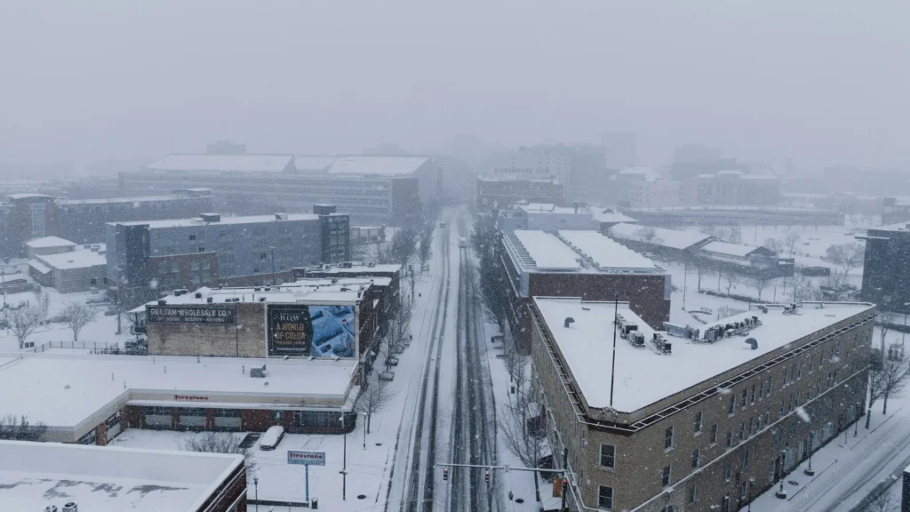
Farther north, cities such as Washington D.C., Pittsburgh, Philadelphia, New York City, Boston, Cleveland, and Louisville may experience significant snowfall, with a 60–70% chance of 2 to 12 inches in parts of the mid-Atlantic and Northeast.
Major interstates like I-20, I-40, I-75, and I-95 could become extremely hazardous, especially in regions unfamiliar with prolonged ice events.
Expected Impacts and What You Should Do Now
The biggest threats from Winter Storm Fern include widespread power outages, particularly in the Southeast where ice buildup can quickly overwhelm trees and infrastructure. Travel conditions may deteriorate rapidly due to black ice, leading to accidents and potential highway shutdowns.
Heavy snow across the Plains, Ozarks, mid-Atlantic, and Northeast could overwhelm plowing operations, while flight cancellations are likely at major hubs including Dallas-Fort Worth, Atlanta, and Charlotte. Schools and businesses may remain closed into Monday in harder-hit areas.
Once the storm passes, lingering Arctic cold raises concerns about hypothermia, burst pipes, and prolonged outages. We don’t recommend unnecessary travel during peak storm periods, especially in areas expecting freezing rain.
Residents are encouraged to:
Stock food, water, and essentials for 3–5 days
Fully charge phones and backup batteries
Fill vehicle fuel tanks
Insulate exposed pipes
Prepare emergency kits with blankets, medications, pet supplies, and radios
Local officials stress the importance of monitoring weather alerts closely, and we agree, as even small changes in the storm’s track could dramatically alter local impacts.
For much of the South, storms of this scale are rare and that rarity makes preparation even more critical. Winter Storm Fern could end up being remembered as a historic winter event across multiple states.